
 EN
EN
 ar
ar bg
bg hr
hr cs
cs da
da nl
nl fi
fi fr
fr de
de el
el hi
hi it
it ko
ko no
no pl
pl pt
pt ro
ro ru
ru es
es sv
sv tl
tl iw
iw id
id lv
lv lt
lt sr
sr sk
sk sl
sl uk
uk vi
vi et
et hu
hu th
th tr
tr fa
fa ms
ms hy
hy ka
ka ur
ur bn
bn mn
mn ta
ta kk
kk uz
uz ku
ku
water level gauge
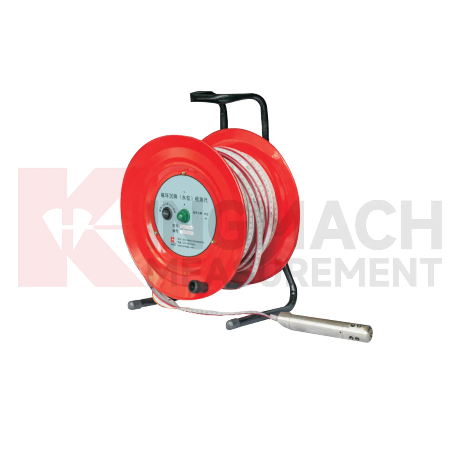
The JMCJ-1003/1005 magnetic ring settlement water level gauge gives Kingmach water level gauge a manual borehole method for layered ground. It measures underground settlement by electromagnetic induction between the probe and magnetic rings, and it measures water level by conductivity when the probe contacts groundwater. The instrument uses a probe, reel, tape, battery, audible or visual indication, and magnetic rings placed at known depths. Published depth options include 30 m, 50 m, and 100 m, with plus or minus 1 mm accuracy, 9V battery power, maximum current of 50 mA, a probe about 17 cm long and 3 cm in diameter, and -20 degrees Celsius to 60 degrees Celsius operating environment. This product is useful where the engineer needs to know which soil layer compressed, not just how much the surface moved. A careful log should keep borehole number, ring depth, water depth, reference mark, operator, weather, and construction activity together for each visit.
Application of water level gauge
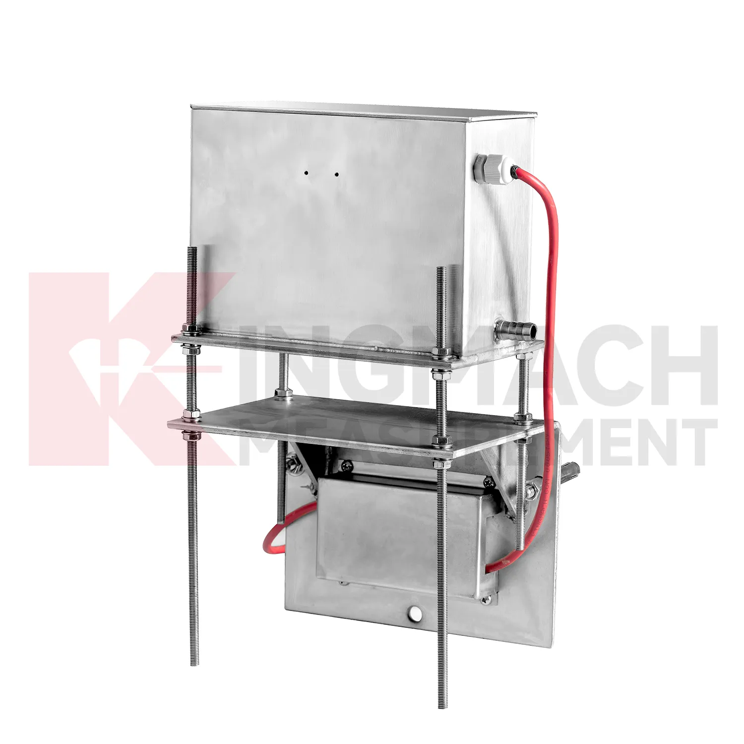
In bridge deflection and pier foundation monitoring, water level gauge help engineers follow vertical behavior that may change with traffic, temperature, bearing response, scour, or foundation compression. Kingmach JMQJ-62XXADT micro range hydrostatic level sensors provide 50 mm and 100 mm ranges, 0.01 mm resolution, RS485 output, and IP68 protection for small movements near decks, piers, or abutments. JMDL-62XXADT hydrostatic sensors can connect several measuring points through tubes, allowing a bridge team to compare related locations against a common reference instead of reading each point alone. A practical layout may place sensors near pier caps, bearing seats, approach slabs, or foundation observation positions, depending on the risk being tracked. The daily review should not look at the settlement curve by itself. Traffic loading, temperature swing, inspection findings, bearing condition, river level, and nearby structural instruments give the curve meaning. If a pier point drifts while the deck and approach slab stay stable, the cause is different from a whole-span temperature response. Clear naming, stable reference control, and consistent reading intervals turn small vertical changes into usable maintenance evidence.
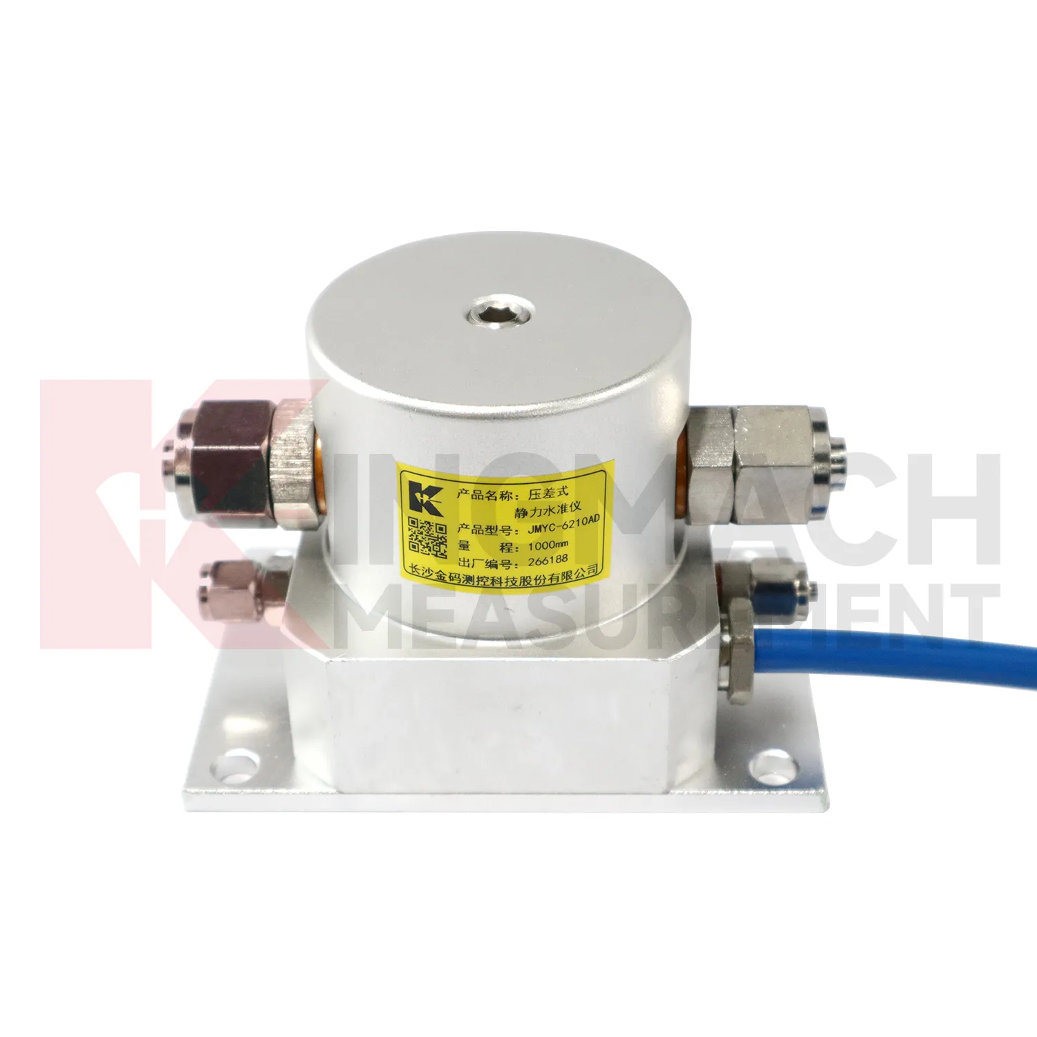
The future of water level gauge
Future water level gauge will be specified as part of mixed monitoring packages. Settlement alone may show that a point moved downward, but it rarely explains the cause. A railway subgrade package may combine settlement gauges, rainfall, pore pressure, tilt, and vibration. A bridge package may combine hydrostatic settlement, strain gauges, load cells, temperature, and deflection readings. A foundation pit package may combine single-point settlement, groundwater level, retaining wall displacement, and support force. Kingmach already has product groups across settlement, displacement, strain, load, tilt, environmental monitoring, acquisition hardware, cables, and software. The next practical improvement is selecting the settlement product together with the logger, cabinet, communication route, warning levels, and inspection actions. This lets the monitoring network answer a site question instead of producing separate curves that must be interpreted after the fact.
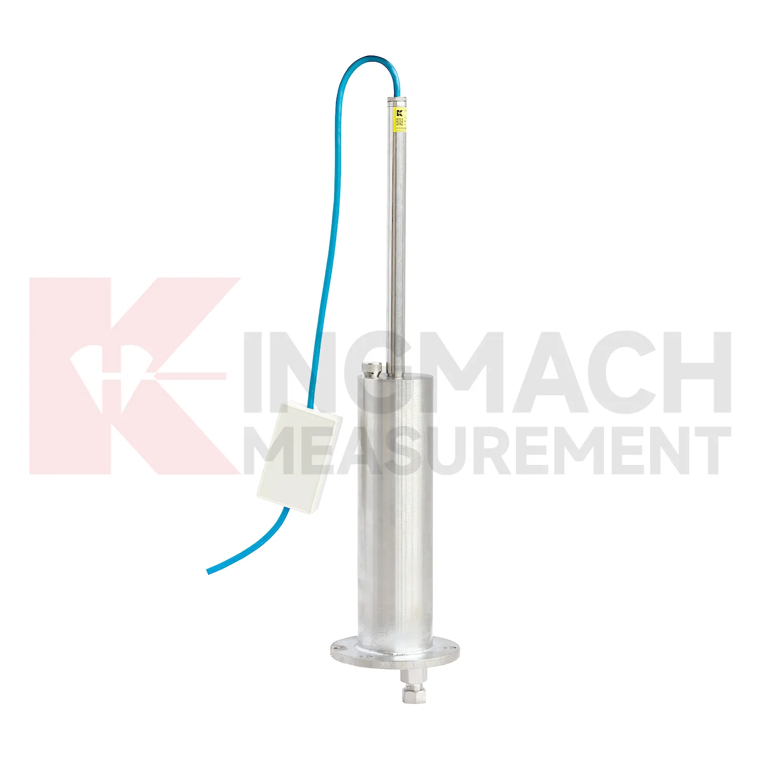
Care & Maintenance of water level gauge
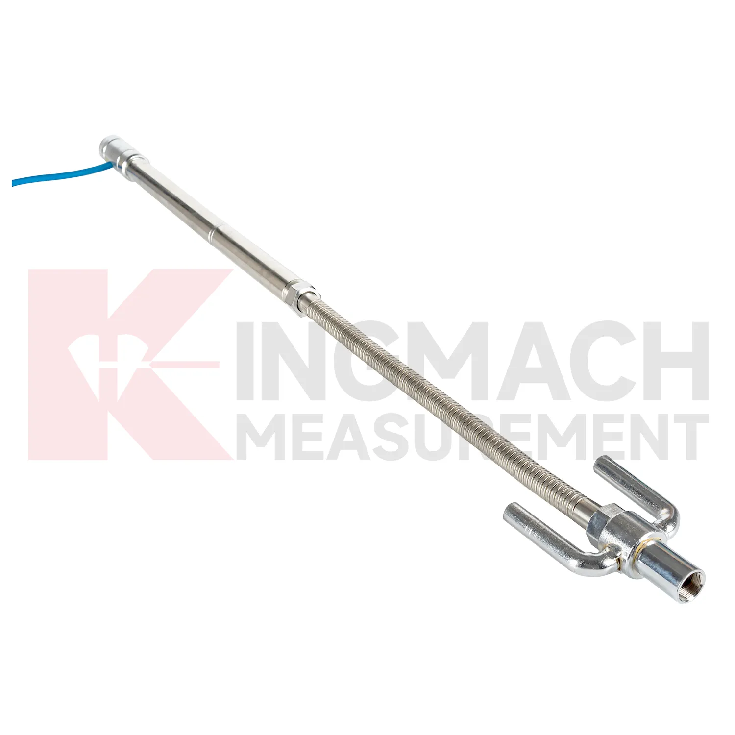
Embedded water level gauge such as JMDL-47XXAT require protection during earthwork, paving, and later traffic. The settlement plate, measuring rod, metal flexible conduit, anchor head, extension rod, bottom anchor, and side-exit cable should be installed without being bent or crushed by compaction equipment. Record installation depth, gauge length, cable exit point, fill layer, protection cover, and first stable reading before the point is buried. During maintenance, inspect accessible cable sections, junction boxes, cabinet terminals, and any area where later excavation may have disturbed the line. If a curve changes after a filling stage or pavement operation, compare the timing with construction logs before judging the ground response. Buried parts are difficult to inspect after coverage, so photographs, as-built sketches, and cable route notes become part of the working instrument. Good embedded-point care is mostly quiet prevention done before damage becomes visible.
Kingmach water level gauge
water level gauge become most useful when they are part of a disciplined data chain. The sensor body is only one part of the record. Reference point, water tube route, cable label, borehole number, ring depth, bus address, platform unit, baseline, and inspection note all shape whether the final curve can be trusted. Kingmach products support both manual reading and automated acquisition, so the same project may combine field tape readings, RS485 data, bus modules, and software reports. During commissioning, each channel should be checked against the physical point. During maintenance, data gaps should be compared with power, communication, weather, and cabinet work. This makes settlement monitoring less mysterious and more useful to the people who must act on it. When those details are settled before installation, the sensor has a much better chance of producing a reliable curve throughout the project life. When those details are settled before installation, the sensor has a much better chance of producing a reliable curve throughout the project life.
FAQ
Q: How should water level gauge be maintained?
A: Check reference points, tubes, cables, seals, settlement plates, anchors, probes, cabinets, and channel names at planned intervals.
Q: Should zero values be reset casually?
A: No. A reset can hide real settlement. If a reset is necessary, record the reason, time, old baseline, and new baseline.
Q: What data should be reviewed with settlement?
A: Rainfall, groundwater, excavation depth, filling stage, traffic loading, tilt, displacement, strain, and load data can all help explain settlement changes.
Q: What signs suggest a data issue?
A: Flat lines, sudden jumps after maintenance, impossible values, repeated communication gaps, or disagreement with nearby points may indicate instrument or data-chain problems.
Q: What makes a settlement report useful?
A: A useful report includes point location, model, range, baseline, reference point, latest reading, cumulative settlement, rate of change, and field notes.
Reviews
Ryan Lewis
Fast delivery and excellent product quality. The accelerometers and tiltmeters are highly reliable. Strongly recommend this company.
Joshua Clark
We ordered a full monitoring solution including sensors and data loggers. Everything works seamlessly together. Great supplier!
Latest Inquiries
To protect the privacy of our buyers, only public service email domains like Gmail, Yahoo, and MSN will be displayed. Additionally, only a limited portion of the inquiry content will be shown.
Olivia***@gmail.comUnited States
Hello, we are currently sourcing high-precision strain gauges and load cells for a bridge monitoring...
Emma***@gmail.comCanada
Dear Sir/Madam, we are interested in displacement transducers and settlement sensors for a geotechni...
Related product categories
- deep settlement gauge
- settlement gauge price
- settlement gauges
- Smart Single-Point Settlement Gauge
- hydrostatic level sensor
- hydrostatic level sensor price
- hydrostatic liquid level sensor
- hydrostatic pressure level sensor
- hydrostatic pressure sensor level measurement
- hydrostatic level sensor principle
- hydrostatic level sensors
- hydrostatic pressure level sensors